
Start with the parcel number and a preliminary title commitment, then search King County’s recorded-document index for the underlying easement instruments. Confirm the location with a survey; a map layer alone is not proof of a legal boundary.
Identify the parcel and collect the right records
Use the property address to find the parcel number, legal description and available parcel details. Street addresses can change; recorded instruments are commonly indexed by parties, recording numbers and legal descriptions, so the parcel number alone may not locate every relevant document.
Ask the seller or listing broker for the preliminary title commitment, recorded plat, existing survey, HOA documents and any private driveway or utility agreements. Read each title exception: a reference to an easement is a prompt to obtain the full document, not an explanation of the entire right.
- Record the parcel number, legal description and owner name.
- Request each recorded document referenced in the title commitment.
- Note whether a document benefits the parcel, burdens it, or both.
Search King County recordings
King County’s online recorded-document search provides access to indexed recordings. Search by recording number when available; then expand by grantor, grantee, subdivision or legal description as needed. Review the complete instrument, including exhibits and amendments; an index result alone does not establish the route or present enforceability.
Some older or complex documents may require assistance from the Recorder’s Office or a title company. Confirm whether the document has been modified or released. A surveyor can plot a legal description when a scanned exhibit is unclear.
| Search item | Why it matters |
|---|---|
| Recording number | Direct route to the instrument cited by title |
| Grantor / grantee names | May reveal original parties or later amendments |
| Recorded plat | May show access and utility areas |
| Title exceptions | May include matters not visible on a parcel map |
Map the effect before planning a project
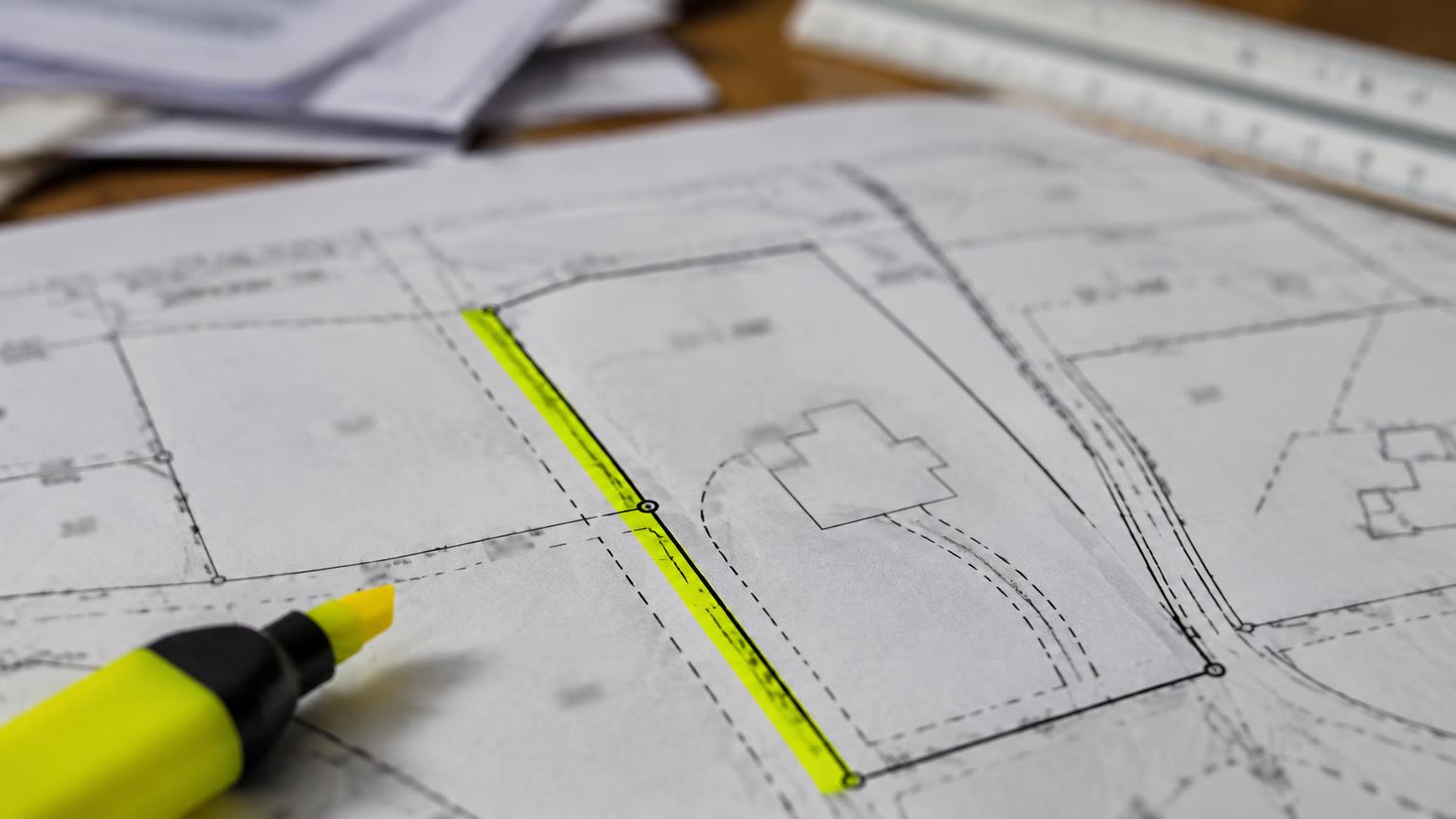
A county parcel viewer is helpful for orientation and ownership details, but it is not a boundary survey and may not depict the exact easement corridor. Compare the document’s legal description to a current survey. If it involves utilities, contact the utility and local permitting office about proposed work; an online map does not grant permission to build over a line.
For a shared driveway, visit the property and note width, slope, drainage, parking and current use. If the recorded route differs from what is on the ground, pause for professional advice before relying on informal neighbor practices.
- Do not put a fence, shed or addition in a suspected corridor before review.
- Ask about maintenance and cost sharing in a separate recorded agreement.
- Review the seller disclosure, while independently checking title and records.
What to do when the documents conflict
Ask the title officer to explain the insured exception and obtain the recorded instrument. Ask a surveyor to locate the area; ask a real-estate attorney about scope, enforceability or disputes. A broker can coordinate this diligence but should not promise that a title commitment, tax map or seller statement resolves a legal question.
Avoid a quoted ‘typical Seattle survey cost’ without a current written surveyor proposal. Complexity, lot size, research, terrain and turnaround can materially change the fee. Get scope and price in writing.
Frequently asked questions
Are easements visible on the county parcel map?
Some may appear, but the map is not complete proof of location or legal rights.
Can I search by address alone?
Use the address to identify a parcel, then work from title exceptions, recording numbers, names and legal descriptions.
What if an old survey disagrees with a fence?
A surveyor and title/real-estate attorney should examine the evidence; do not infer the legal boundary from the fence.
Will the seller disclosure list every easement?
Do not rely on it as a complete title search. Obtain the title commitment and recorded instruments.
Who can tell me if I can build a fence?
The city, utility, surveyor and legal adviser each answer different pieces: permits, utility rights, location and interpretation.
Build a traceable search packet for the exact parcel
Start with the assessor parcel number and legal description rather than relying only on a street address, which may change or refer to more than one lot. Request the preliminary title commitment or report from the closing provider; read the exceptions and ask for copies of every referenced instrument. Then search the county recorder by the names, recording numbers and dates supplied in that report. An online search is a way to locate documents, not a guarantee that every applicable interest has been found.
Keep a small evidence log. For each document, note its recording number, date, parties, benefited and burdened parcels, stated purpose, width if specified and any referenced exhibit or amendment. Cross-reference parcel maps for orientation only. If an easement predates a lot split, have the title company or attorney confirm which successor parcel is affected; a street-view photo cannot resolve that.
| Record | What to copy | Limit |
|---|---|---|
| Preliminary title report | Schedule of exceptions and referenced recording numbers | May be updated before closing |
| County recording | Entire instrument, exhibits and amendments | Language needs interpretation |
| Survey or plat | Parcel boundaries and plotted features | Must match the current parcel and purpose |
Resolve a missing or ambiguous record before closing
If the title report refers to an instrument you cannot open online, request it from title or the recorder; do not conclude that the right does not exist. If a plan or survey conflicts with a recorded grant, obtain a qualified survey and legal review instead of relying on a listing description. Verify whether a lender, insurer or permit office needs additional documentation before you remove a contingency.
For a planned addition, driveway change or fence, send the exact project sketch and recorded instrument to the relevant city and rights holder for review. Also ask whether any maintenance covenant or unrecorded access arrangement is reported by the seller. A seller’s disclosure is useful context, not a clean-title certification. Keep the decision tied to the project you actually intend to undertake.
Search results need an instrument-by-instrument reading
Open every recorded instrument cited in the title exceptions and inspect any map exhibits attached to it. A search result may include easement grants, releases, amended plats or unrelated documents with similar party names. Confirm that the legal description points to the subject parcel and that a later recording did not modify the original right. Use the recording number in follow-up questions to title; a document title alone is insufficient for precise identification.
If a neighboring parcel appears benefited, cross-check both legal descriptions and the current parcel IDs. Indexing and scanned exhibits can be imperfect, especially for older records. A missing online image is an information gap, not evidence of a clean parcel. Contact the recorder or title provider for a copy, and ask an attorney when the relationship among recordings is uncertain.
Turn the paper search into a property decision
For a driveway concern, walk the property and mark the visible travel path on a copy of the survey without treating your markings as legal boundaries. Ask whether parked cars, retaining walls or gates obstruct the recorded corridor. For a utility strip, send the proposed fence or addition plan to the relevant utility and permitting authority. Record each answer and its date because permission can depend on a specific design.
The search is complete for a buyer’s immediate decision only when the instruments, physical observations and intended use have been reconciled sufficiently to understand the risk. If location or enforceability remains contested, request an extension where the contract permits or obtain specialist advice; a general website article cannot cure a title exception.
Sources and further reading
Sources below support the linked general rules and lookup methods. Numerical tables in this article are explicitly labeled hypothetical illustrations, not market statistics or client outcomes. Confirm current forms, fees and transaction-specific advice with the appropriate professional before use.